Equipment

Field Technology

2.
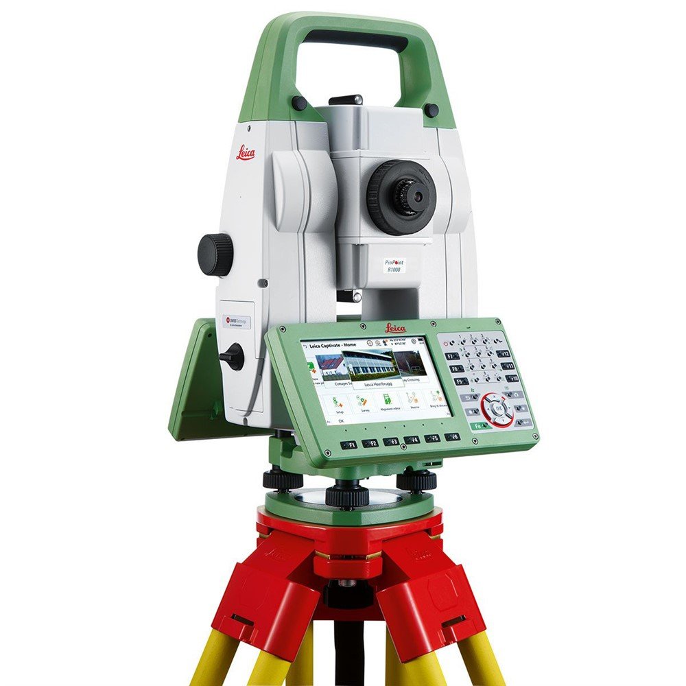
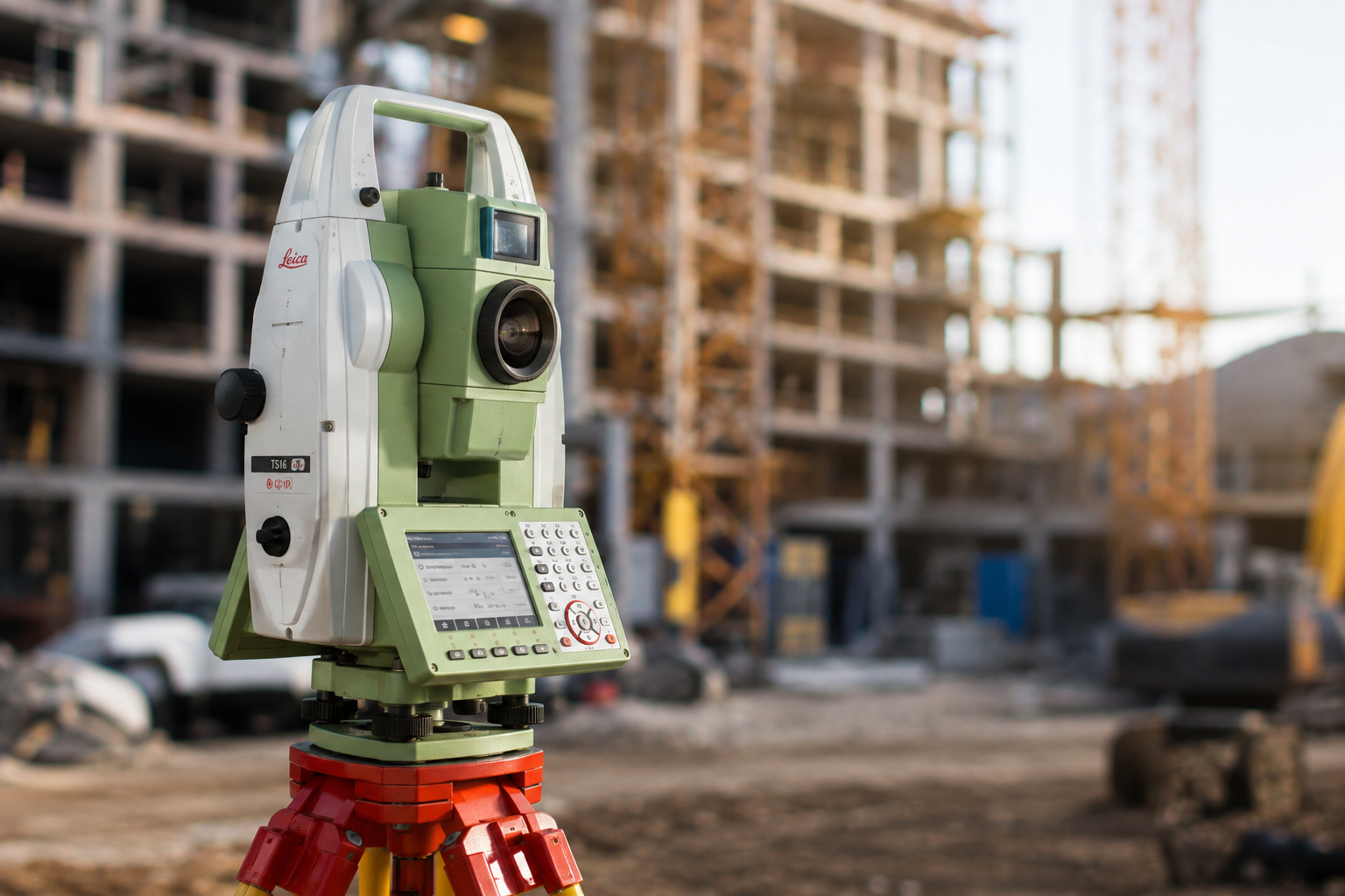
Robotic total stations deliver precise, efficient layout control across complex high-rise construction sites.
cs20 2
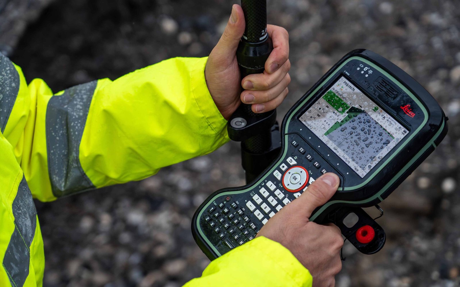
Digital controllers streamline field measurements, coordinate checks, and reliable transfer of project data.
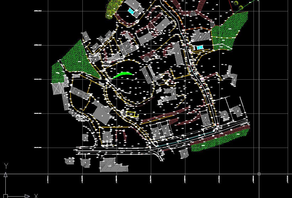
autocad land survey drawing by dark0range d67167y fullview
High-precision lasers and custom CAD reporting support accurate verification from field conditions to final documentation.
Field Technology

Precision instruments and tailored reporting support layout, verification, and geomatics work on construction sites.

Photo 1680451641722 0fa4f6745c33?q=85&w=600&h=600&fit=crop
0001117 leica viva ts16 robotic total station
Photo 1696334572287 8892686425f7?q=85&w=600&h=600&fit=crop
Photo 1489512093541 Ffa415651a9c?q=85&w=600&h=600&fit=crop